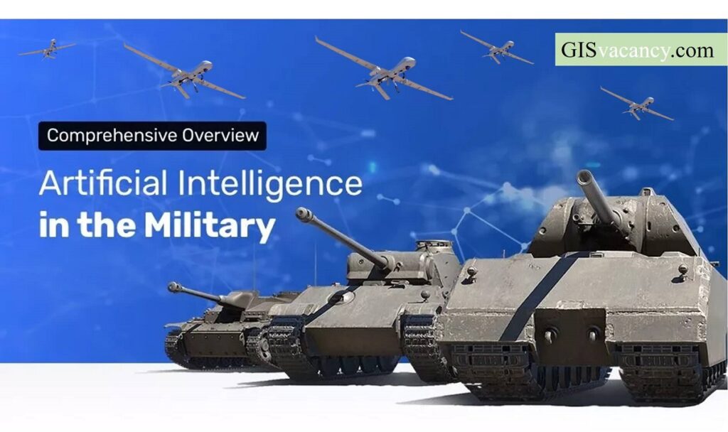
Geospatial Intelligence and Machine Learning Applications in the Air Force: An In-Depth Analysis
Geospatial intelligence (GEOINT) is the collection, analysis, and interpretation of data from Earth-based and space-based sources to provide insights into the physical features and activities on Earth. The Air Force is a major user of GEOINT, and it is increasingly using machine learning (ML) to improve its GEOINT capabilities. This article provides an in-depth analysis […]