News

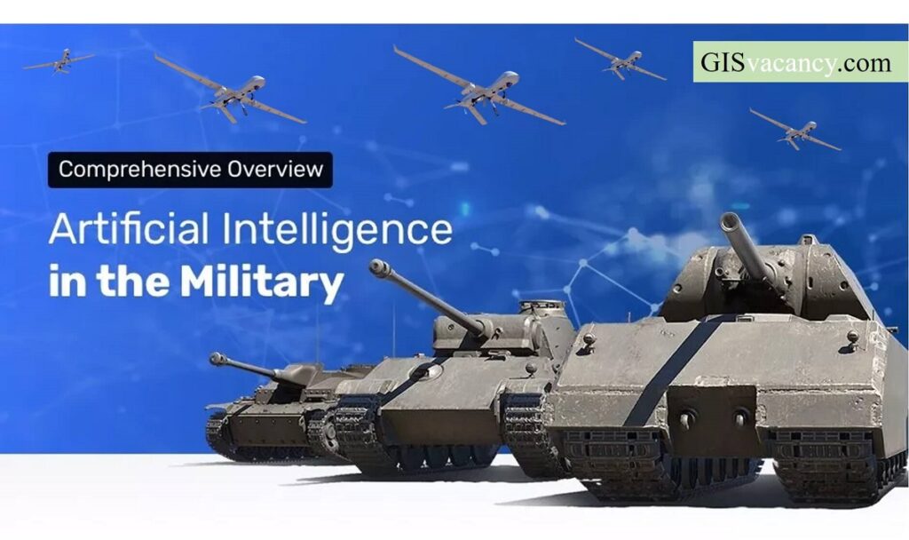
Geospatial intelligence |Machine Learning Application | Drone fighting

Geospatial Intelligence and Machine Learning Applications in the Air Force: An In-Depth Analysis

Geospatial intelligence (GEOINT) is the collection, analysis, and interpretation of data from Earth-based and space-based sources to provide insights into the physical features and activities on Earth. The Air Force is a major user of GEOINT, and it is increasingly using machine learning (ML) to improve its GEOINT capabilities. This article provides an in-depth analysis …

Geospatial Intelligence and Machine Learning Applications in the Air Force: An In-Depth Analysis Read More »

Ads Blocker Image Powered by Code Help Pro

Ads Blocker Detected!!!

We have detected that you are using extensions to block ads. Please support us by disabling these ads blocker.