
Here is the list of Top 10 GIS Software programs, along with a brief overview of each program and its features.
GIS (Geographic Information System) software is a powerful tool used for capturing, managing, analyzing, and displaying geographical data. It allows users to integrate various types of data, such as maps, satellite imagery, aerial photographs, and tabular data, to create meaningful visual representations and gain insights about specific locations or areas.
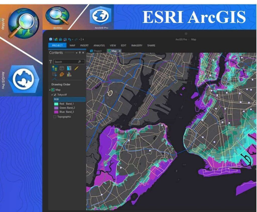
1. Esri ArcGIS
Esri ArcGIS is the most popular GIS software program in the world. It is a powerful and comprehensive software suite that offers a wide range of features and tools. ArcGIS is used by a wide variety of organizations, including businesses, governments, and universities.
Some of the key features of Esri ArcGIS include:
- A wide range of mapping and spatial analysis tools
- Support for a variety of data formats
- A user-friendly interface
- A large community of users and developers
Esri ArcGIS is a powerful tool for a wide variety of tasks, including:
- Mapping and spatial analysis
- Data visualization
- 3D modeling
- Cartography
- Remote sensing
- Environmental impact assessment
- Land use planning
- Disaster management
- Business intelligence
- Transportation planning
- Public safety
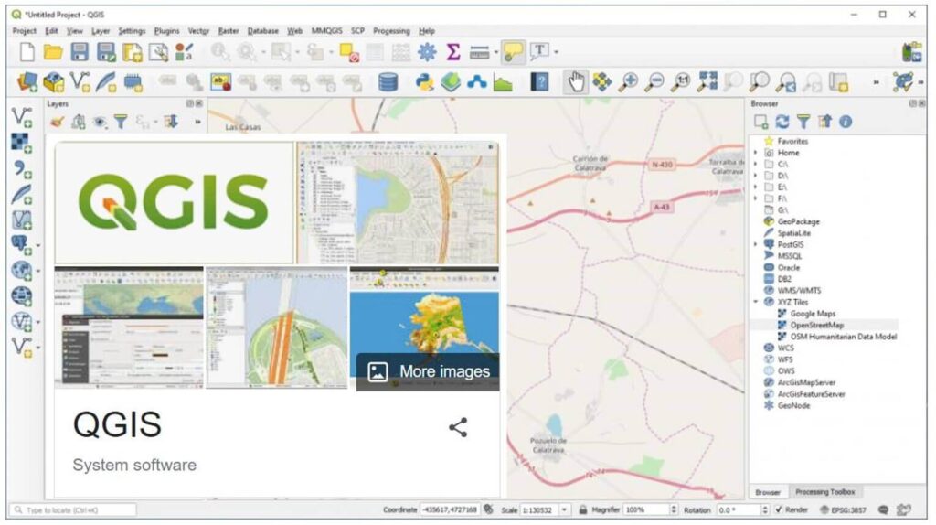
2. QGIS
QGIS is a free and open-source GIS software program that is quickly gaining popularity. It is a powerful and feature-rich program that can be used for a variety of tasks. QGIS is a good option for small businesses and individuals who are looking for a free or low-cost GIS software program.
Some of the key features of QGIS include:
- A wide range of mapping and spatial analysis tools
- Support for a variety of data formats
- A user-friendly interface
- A large community of users and developers
QGIS is a powerful tool for a wide variety of tasks, including:
- Mapping and spatial analysis
- Data visualization
- 3D modeling
- Cartography
- Remote sensing
- Environmental impact assessment
- Land use planning
- Disaster management
- Business intelligence
- Transportation planning
- Public safety
3. Google Earth Pro
Google Earth Pro is a powerful GIS software program that is available for free. It offers a wide range of features and tools, including 3D mapping, satellite imagery, and aerial photography. Google Earth Pro is a good option for businesses and individuals who are looking for a powerful and easy-to-use GIS software program.
Some of the key features of Google Earth Pro include:
- 3D mapping
- Satellite imagery
- Aerial photography
- Street view
- KML and KMZ support
- Data integration
- Customization
Google Earth Pro is a powerful tool for a wide variety of tasks, including:
- Exploring the world
- Planning trips
- Conducting research
- Creating presentations
- Educating others
4. Mapbox
Mapbox is a cloud-based GIS software platform that offers a wide range of features and tools. Mapbox is a good option for businesses and organizations that need to create and manage maps and location-based data.
Some of the key features of Mapbox include:
- A wide range of mapping tools
- Support for a variety of data formats
- A user-friendly interface
- A large community of users and developers
Mapbox is a powerful tool for a wide variety of tasks, including:
- Creating maps
- Managing maps
- Integrating maps with other applications
- Customizing maps
- Monetizing maps
5. FME
FME is a data integration software program that can be used to integrate data from a variety of sources, including GIS data. FME is a good option for businesses and organizations that need to integrate data from a variety of sources.
Some of the key features of FME include:
- Support for a wide range of data formats
- A powerful transformation engine
- A user-friendly interface
- A large community of users and developers
FME is a powerful tool for a wide variety of tasks, including:
- Integrating data
- Cleaning data
- Validating data
- Transforming data
- Publishing data
6. AutoCAD Map 3D
AutoCAD Map 3D is a powerful GIS software program that is designed for use by architects, engineers, and surveyors. AutoCAD Map 3D offers a wide range of features and tools for creating, editing, and managing 2D and 3D maps.
Some of the key features of AutoCAD Map 3D include:
- A wide range of mapping and spatial analysis tools
- Support for a variety of data formats
- A user-friendly interface
- A large community of users and developers
AutoCAD Map 3D is a powerful tool for a wide variety of tasks, including:
- Creating maps
- Editing maps
- Managing maps
- Integrating maps with other applications
7. GRASS GIS
GRASS GIS is a free and open-source GIS software program that is a powerful tool for spatial analysis. GRASS GIS is a good option for businesses and individuals who are looking for a free or low-cost GIS software program for spatial analysis.
Some of the key features of GRASS GIS include:
- A wide range of spatial analysis tools
- Support for a variety of data formats
- A user-friendly interface
- A large community of users and developers
GRASS GIS is a powerful tool for a wide variety of tasks, including:
- Spatial analysis
- Data visualization
- 3D modeling
- Cartography
- Remote sensing
- Environmental impact assessment
- Land use planning
- Disaster management
8. gvSIG
gvSIG is a free and open-source GIS software program that is available in a variety of languages. gvSIG is a good option for businesses and individuals who are looking for a free or low-cost GIS software program in their language.
Some of the key features of gvSIG include:
- A wide range of mapping and spatial analysis tools
- Support for a variety of data formats
- A user-friendly interface
- A large community of users and developers
gvSIG is a powerful tool for a wide variety of tasks, including:
- Mapping and spatial analysis
- Data visualization
- 3D modeling
- Cartography
- Remote sensing
- Environmental impact assessment
- Land use planning
- Disaster management
9. ILWIS
ILWIS is a commercial GIS software program that is designed for use by governments and businesses. ILWIS offers a wide range of features and tools for spatial analysis and mapping.
Some of the key features of ILWIS include:
- A wide range of spatial analysis tools
- Support for a variety of data formats
- A user-friendly interface
- A large community of users and developers
ILWIS is a powerful tool for a wide variety of tasks, including:
- Spatial analysis
- Data visualization
- 3D modeling
- Cartography
- Remote sensing
- Environmental impact assessment
- Land use planning
- Disaster management
10. Maptitude
Maptitude is a commercial GIS software program that is designed for use by businesses and individuals. Maptitude offers a wide range of features and tools for mapping, spatial analysis, and data visualization.
Some of the key features of Maptitude include:
- A wide range of mapping tools
- Support for a variety of data formats
- A user-friendly interface
- A large community of users and developers
Maptitude is a powerful tool for a wide variety of tasks, including:
- Creating maps
- Managing maps
- Integrating maps with other applications
- Customizing maps
- Monetizing maps
