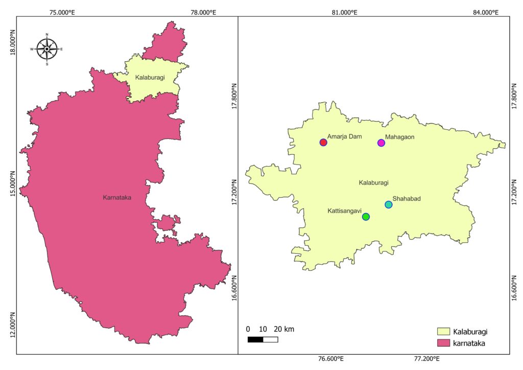
Present submitted map is created for showing the location study location, for preparing such map I have to installed QGIS 3.28.0 software in my laptop with help of metadata in the form of shape file i have created layer. Then i have downloaded the DEM file of the India and then according to elevation i have categorized the elevation with color ranges from lower to higher elevation. and the spots/ marks denoting the location where i have collected the samples.