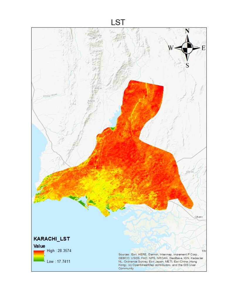
LST of KARACHI

I used Arc GIS to create this map showing surface temperature distribution of land. I choose karachi a city of pakistan to perform this task and it also shows by the sense of temperature to locate high and low temperature region. We can also use this map in precipitation prediction 
Leave a Reply

Your email address will not be published. Required fields are marked *

Ads Blocker Image Powered by Code Help Pro

Ads Blocker Detected!!!

We have detected that you are using extensions to block ads. Please support us by disabling these ads blocker.

Powered By
100% Free SEO Tools - Tool Kits PRO