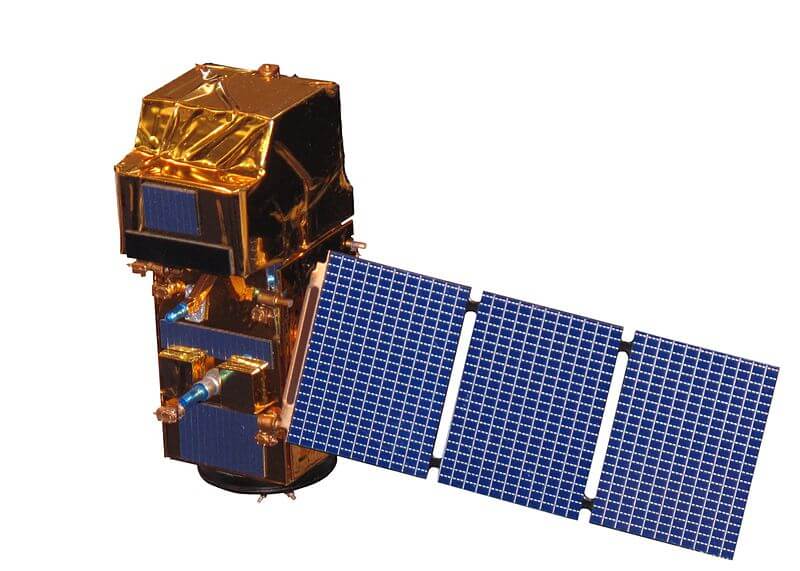
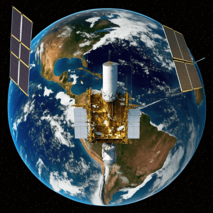
Sentinel-2 is a European Space Agency (ESA) satellite mission that aims to provide high-resolution optical imagery of Earth’s land surfaces. The mission is part of the Copernicus program, which is a joint initiative between the European Union (EU) and the European Space Agency (ESA) to provide accurate and up-to-date information about the Earth’s environment and natural resources.
Objectives
Sentinel-2’s primary objective is to provide data for land surface monitoring, including land cover and vegetation changes, as well as coastal zone management and monitoring of inland water bodies. The satellite’s high-resolution imagery is also used for mapping and monitoring land use, urbanization, and changes in land cover.
Instruments
Sentinel-2 is equipped with two main instruments: the Multi-Spectral Instrument (MSI) and the Synthetic Aperture Radar (SAR) instrument. The MSI is a high-resolution imaging system that captures data in 13 spectral bands, with a resolution of 10m for the four visible and near-infrared bands and 20m for the remaining bands. The SAR instrument is used to capture data in a single band with a resolution of 20m.
Imagery
Sentinel-2’s high-resolution imagery is used to map and monitor a wide range of land surface features, including vegetation, water bodies, urban areas, and coastlines. The satellite’s multispectral capabilities allow for the detection of changes in land cover, such as the expansion of urban areas, deforestation, and changes in vegetation health. Additionally, the imagery can be used to monitor coastal zones, including the detection of oil spills and changes in water quality.
Sentinel-2 is equipped with a Multi-Spectral Instrument (MSI) that captures data in 13 spectral bands. These bands cover a wide range of wavelengths, from the visible to the near-infrared, and have different resolutions.
The 13 spectral bands are:
| Sentinel-2 bands | Sentinel-2A Central wavelength (nm) | Sentinel-2A Bandwidth (nm) | Sentinel-2B Central wavelength (nm) | Sentinel-2B Bandwidth (nm) | Spatial resolution (m) |
| Band 1 – Coastal aerosol | 442.7 | 21 | 442.2 | 21 | 60 |
| Band 2 – Blue | 492.4 | 66 | 492.1 | 66 | 10 |
| Band 3 – Green | 559.8 | 36 | 559.0 | 36 | 10 |
| Band 4 – Red | 664.6 | 31 | 664.9 | 31 | 10 |
| Band 5 – Vegetation red edge | 704.1 | 15 | 703.8 | 16 | 20 |
| Band 6 – Vegetation red edge | 740.5 | 15 | 739.1 | 15 | 20 |
| Band 7 – Vegetation red edge | 782.8 | 20 | 779.7 | 20 | 20 |
| Band 8 – NIR | 832.8 | 106 | 832.9 | 106 | 10 |
| Band 8A – Narrow NIR | 864.7 | 21 | 864.0 | 22 | 20 |
| Band 9 – Water vapour | 945.1 | 20 | 943.2 | 21 | 60 |
| Band 10 – SWIR – Cirrus | 1373.5 | 31 | 1376.9 | 30 | 60 |
| Band 11 – SWIR | 1613.7 | 91 | 1610.4 | 94 | 20 |
| Band 12 – SWIR | 2202.4 | 175 | 2185.7 | 185 | 20 |
These bands are divided into two groups: the visible and near-infrared (VNIR) bands, and the short-wave infrared (SWIR) bands.
Visible and Near-Infrared (VNIR) Bands:
- Band 1: Coastal Aerosol (443 nm)
- Band 2: Blue (490 nm)
- Band 3: Green (560 nm)
- Band 4: Red (665 nm)
Short-Wave Infrared (SWIR) Bands:
- Band 5: Vegetation Red Edge 1 (705 nm)
- Band 6: Vegetation Red Edge 2 (740 nm)
- Band 7: Vegetation Red Edge 3 (783 nm)
- Band 8: NIR (842 nm)
- Band 8A: Narrow NIR (864 nm)
- Band 9: Water Vapor (945 nm)
- Band 10: SWIR (1375 nm)
- Band 11: SWIR (1610 nm)
- Band 12: SWIR (2190 nm)
The VNIR bands have a resolution of 10 meters, while the SWIR bands have a resolution of 20 meters. These bands are used to detect various features on the Earth’s surface, such as vegetation, water bodies, urban areas, and coastlines. The data from these bands can be combined to create false color images, which can be used to enhance the visibility of certain features, such as vegetation and water bodies. The high-resolution imagery provided by Sentinel-2 can be used for a wide range of applications, including land use and land cover mapping, urbanization monitoring, coastal zone management, and disaster management.
Note: Band 8a is a Narrow NIR band which is a subsampled version of band 8, used for atmospheric correction.
These bands are used to detect various features on the Earth’s surface, and the different resolutions allow for a detailed analysis of these features. The MSI instrument allows for the detection of changes in land cover, such as urbanization, deforestation, and changes in vegetation health. Additionally, the imagery can be used to monitor coastal zones, water bodies and detect oil spills, and changes in water quality.
Data Access and Processing
Sentinel-2 data is freely available to users through the European Space Agency’s (ESA) Copernicus Open Access Hub. The data can be downloaded in a variety of formats, including GeoTIFF and JPEG2000, and can be processed using a wide range of GIS and remote sensing software. There are also many third-party providers that offer value-added services, such as cloud-based processing and data visualization tools.
Applications
Sentinel-2’s high-resolution imagery is used in a wide range of applications, including land use and land cover mapping, urbanization monitoring, and coastal zone management. The data is also used to monitor the health of vegetation, including crop monitoring and the detection of crop stress. Additionally, the imagery is used in disaster management, such as the detection of floods and wildfires.
Conclusion
Sentinel-2 is a valuable asset for monitoring the Earth’s land surfaces. Its high-resolution imagery is used in a wide range of applications, from land use and land cover mapping to urbanization monitoring and coastal zone management. The data is freely available to users, and the large number of spectral bands allows for detailed analysis of the land surface. Overall, the Sentinel-2 mission provides valuable information for managing and preserving the Earth’s natural resources and environment.
- Geospatial Intelligence and Machine Learning Applications in the Air Force: An In-Depth Analysis

- Honorary Doctorate – ‘Dr’
- Remote Sensing of Environment
- Geospatial Bill of India 2022

- NAAS Rating 2023 PDF | NAAS Score of Science Journals (Effective from January 1, 2019, 2021, 2022, 2023)| NAAS Rating
