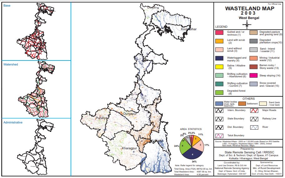
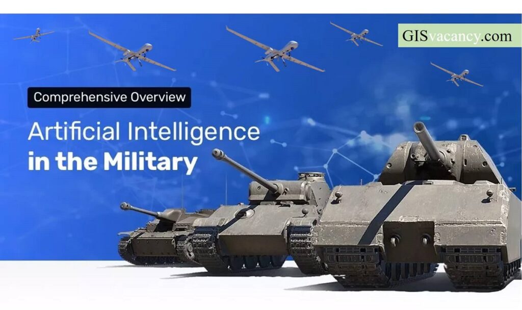
Geospatial intelligence |Machine Learning Application | Drone fighting

Geospatial Intelligence and Machine Learning Applications in the Air Force: An In-Depth Analysis

Geospatial intelligence (GEOINT) is the collection, analysis, and interpretation of data from Earth-based and space-based sources to provide insights into the physical features and activities on Earth. The Air Force is a major user of GEOINT, and it is increasingly using machine learning (ML) to improve its GEOINT capabilities. This article provides an in-depth analysis …

Geospatial Intelligence and Machine Learning Applications in the Air Force: An In-Depth Analysis Read More »

Ads Blocker Image Powered by Code Help Pro

Ads Blocker Detected!!!

We have detected that you are using extensions to block ads. Please support us by disabling these ads blocker.

Powered By
Best Wordpress Adblock Detecting Plugin | CHP Adblock